")
")

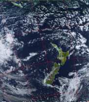
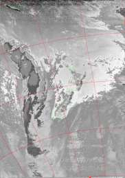
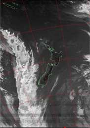

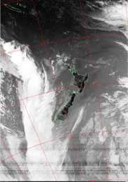
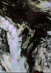
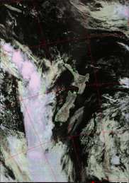


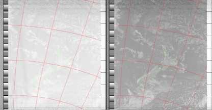
The following Standard images (decoded by WXtoImg) show the images as transmitted by the NOAA polar orbiting weather satellites (although maps have been overlayed on the images to improve interpretation). The NOAA satellites transmit two images from different sensors. Typically sensors 2 (near infrared) and 4 (thermal infrared) during the day, and sensors 3 (mid/thermal infrared) and 4 (thermal infrared) during the night. Sensors 1 (visible) and 2 (near infrared) are transmitted only for a short time after the launch of a new satellite.
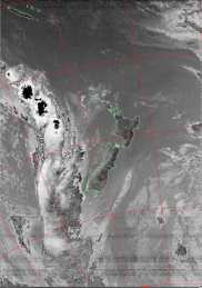
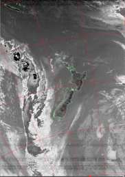
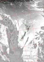
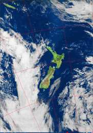
Standard Image (NOAA sensors 3/3B and 4)
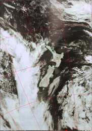
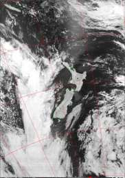
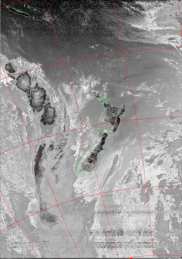
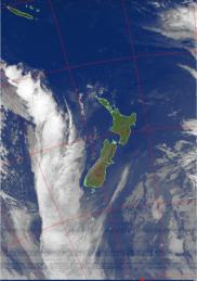
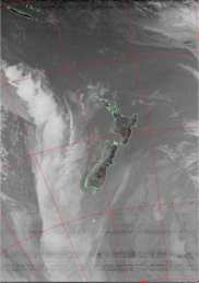
Standard Image (NOAA sensors 1 and 2)
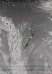
Standard Image (NOAA sensors 1 and 2)
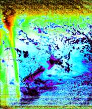
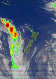
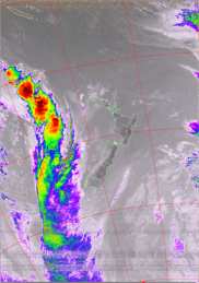
The following enhancements are available in the WXtoImg program. Not all enhancements apply to images containing any two sensors (for instance the MSA enhancement requires a sensor 2-4 image). Click on any image to see a larger image. Note that the Anaglyph enhancement is a 3D image requiring special red/blue glasses to view.
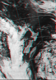
ANAGLYPH
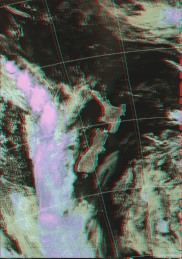
CANAGLYPH
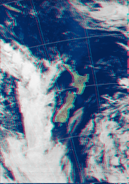
MCIR-ANAGLYPH
MSA-ANAGLYPH
SEA
VEG
BD
CC
CLASS
EC
HE
HF
HISTEQA
HISTEQB
HVC
HVCT
INVERT
JF
JJ
MB
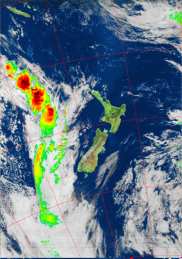
MCIR-PRECIP
MCIR
MD
MSA-PRECIP
MSA
NO
TA
ZA
The ZA, MB, MD, BD, CC, EC, HE, HF, JF, JJ, TA and NO enhancement curves were provided by NOAA.